
 Layla Zulfa
Published: November 20, 2026
Author: Skiing Editorial Desk
Main Facts
The National Oceanic and Atmospheric Administration (NOAA) has released its latest long-range seasonal climate predictions, offering a much-needed glimmer of hope for skiers and snowboarders looking to rebound from a historically dismal prior winter season.
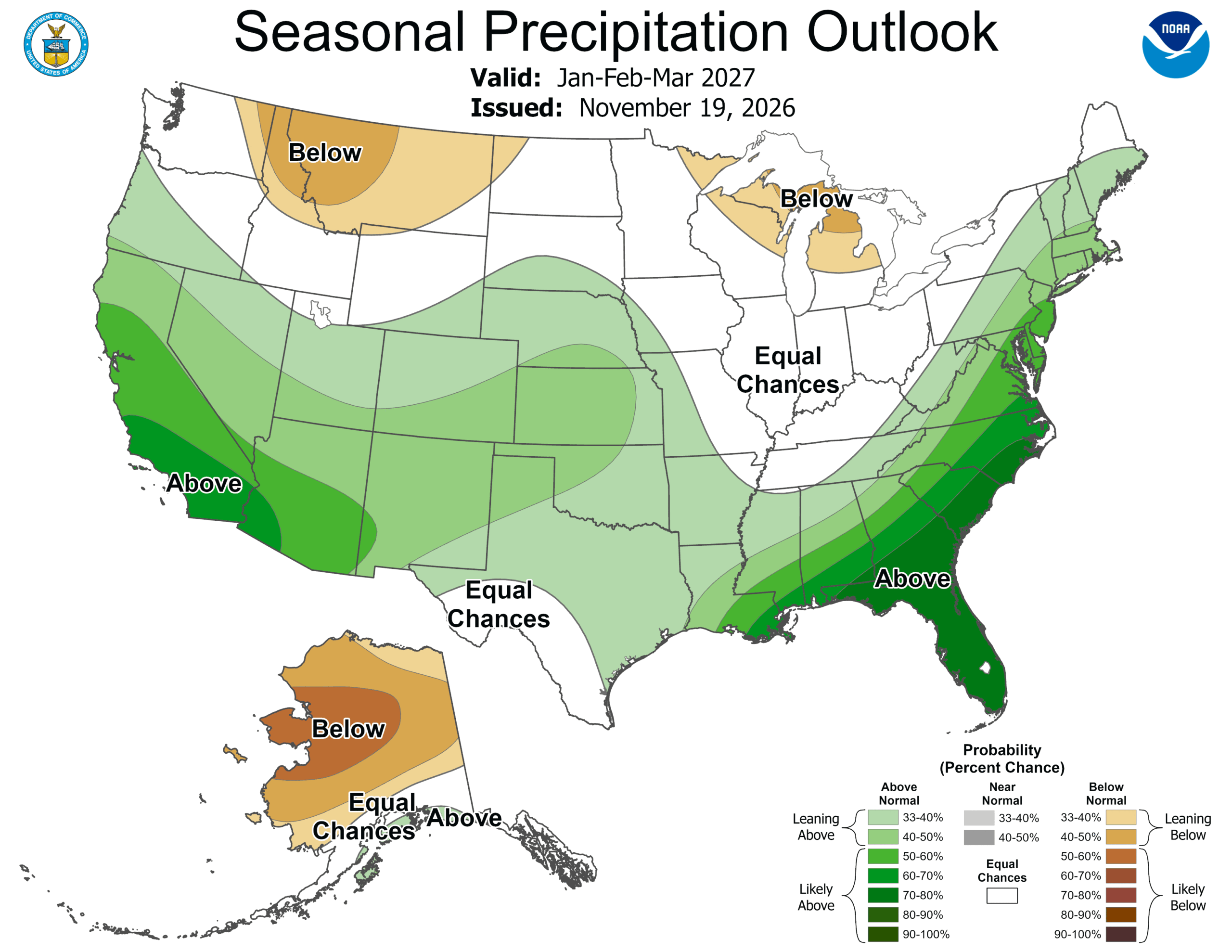
Issued by the Climate Prediction Center on Thursday, November 19, the updated winter outlook highlights a shift in odds heavily favoring above-average precipitation across California and the Desert Southwest. Specifically, NOAA’s meteorological models indicate that southern California and southwestern Arizona now face greater than a 60 percent probability of finishing the core December-through-February winter period wetter than historical averages.
While the new data provides strong encouragement for regions that have struggled with low snowpacks in recent years, forecasters issue a vital caveat: the models track total moisture, not frozen precipitation alone. Driven by a robust El Niño and an active southern storm track, NOAA’s precipitation forecasts carry higher reliability than its temperature predictions. Consequently, while moisture is heavily favored, whether that precipitation falls as blower powder or rain depends entirely on localized storm tracks and freezing levels.
Chronology: The Evolution of the 2026–27 Winter Forecast
The road to the current November outlook has been filled with shifting climate signals, high anticipations, and early-season anxiety for mountain communities across North America.
Early Summer Projections
Back in July, long-range meteorologists began sounding the alarm bells regarding a potentially historic El Niño cycle. Early climate models hinted at a dramatic shift in the Pacific jet stream, raising immediate hopes for a snowy redemption across the western United States following a winter defined by subpar snowfall totals and early melts. Ski-travel experts and meteorologists weighed in on what a developing Super El Niño pattern could mean, pointing early consensus directly toward the Southwest, southern Colorado, New Mexico, Arizona, and California.
Autumn Adjustments and Early Storms
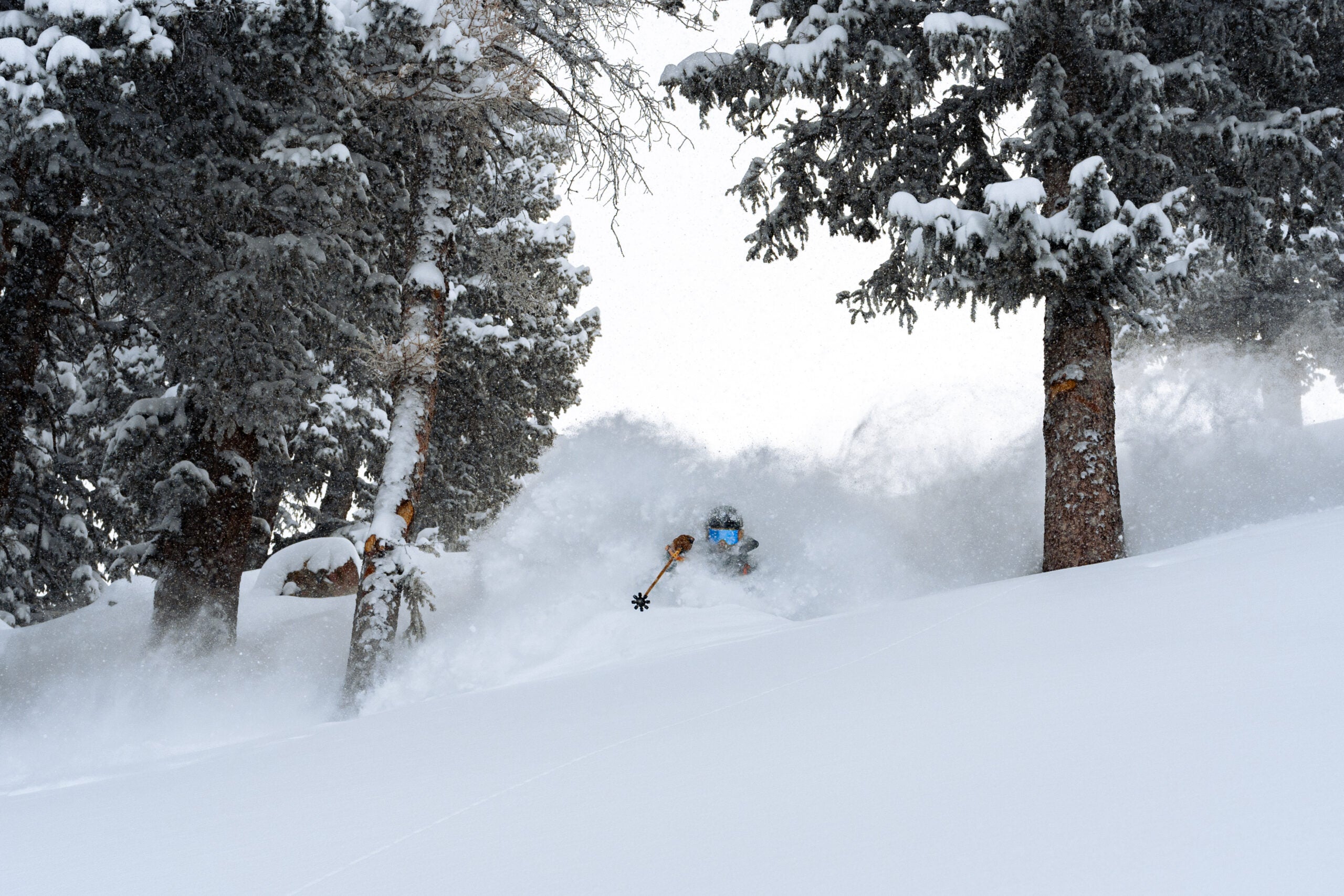
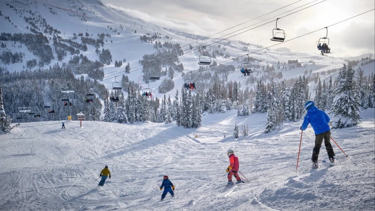
As autumn progressed, localized weather systems began to test the theoretical models. By mid-November, significant early-season winter storms hammered the Sierra Nevada range. Resorts such as Kirkwood Mountain Resort and Mt. Rose in Nevada experienced deep powder days, painting a January-like landscape well ahead of the official holiday season and boosting local resort morale.
The November 19 Update
The release of NOAA’s updated seasonal outlook on November 19 codified these atmospheric trends. By increasing the probabilistic odds of wetter conditions across the southern tier of the country, the Climate Prediction Center officially shifted the needle in favor of southwestern ski areas, while maintaining a cautious stance on the historically lucrative powder fields of the Northern Rockies. NOAA’s next major seasonal forecast update is officially scheduled for December 17.
Supporting Data and Regional Breakdown
Understanding how the winter will unfold requires breaking down the country by geographical regions. NOAA’s updated probabilities paint a distinct, polarized picture of North American ski country for the upcoming months.
California and the Southwest: A Promising Upward Trend
California and the Southwest stand out as the primary beneficiaries of the updated outlook. NOAA has steadily increased the probabilities of above-average precipitation for this corridor.
- The Sierra Nevada: Mammoth Mountain, Lake Tahoe resorts (such as Palisades Tahoe, Heavenly, and Kirkwood), and Mt. Rose are positioned well within the zone of favorable moisture probability.
- Arizona and New Mexico: Arizona Snowbowl, Taos Ski Valley, and Ski Santa Fe all enjoy strong statistical backing for an active, moisture-laden winter.
- Southern Colorado: Destinations including Purgatory, Wolf Creek, and Telluride benefit from the southern storm track favored by current El Niño dynamics, though northern stretches of the state face a murkier forecast.
The Northern Rockies and Pacific Northwest: Facing an Upward Battle
Conversely, the northern half of the country faces a more challenging meteorological outlook. NOAA continues to favor below-average precipitation across parts of the Northern Rockies, paired with an increased likelihood of higher-than-average temperatures.
- The Impact: Resorts across Montana (such as Big Sky), Idaho (Sun Valley), and Wyoming (Jackson Hole) face a difficult combination of warm anomalies and drier trends.
- The Pacific Northwest: Washington and Oregon ski areas also face odds leaning toward warmer-than-average temperatures, making lower-elevation operations dependent on artificial snowmaking and timely cold snaps.
The East Coast and Southeast
The outlook favors wetter-than-average conditions across much of the Eastern seaboard and the Southeast. However, forecasters warn that ambient warmer temperatures could severely complicate natural snowfall prospects, creating a heavy reliance on modern snowmaking infrastructure for lower-elevation resorts in these regions.
Official Responses and Meteorological Analysis
Meteorologists emphasize that interpreting government climate models requires looking past simple headlines. The distinction between precipitation and snowfall remains the central theme of this year’s seasonal advisory.
According to NOAA representatives, the high reliability of this winter’s precipitation forecast is directly tied to the presence of a strong El Niño pattern, which traditionally steers an active storm track across the southern portion of the United States. However, because temperature forecasts carry lower statistical confidence in long-range outlooks, forecasters cannot definitively guarantee that the incoming moisture will manifest as cold, dry powder at all elevations.
"There will be moisture, but whether it comes down as snow remains to be seen," climate analysts noted in the November report.
Resort operators and industry experts have responded with cautious optimism. While early November storms in places like Lake Tahoe have validated the early-season models, mountain managers continue to invest heavily in advanced snowmaking technology to hedge against potential temperature fluctuations, particularly in marginal climate zones.
Implications for Skiers, Resorts, and the Travel Industry
The polarized nature of the 2026–27 winter outlook carries significant economic, logistical, and strategic implications for the North American ski industry and traveling winter enthusiasts.
Strategic Trip Planning for Skiers
For consumers planning ski trips, the updated outlook provides a data-driven framework for risk mitigation:
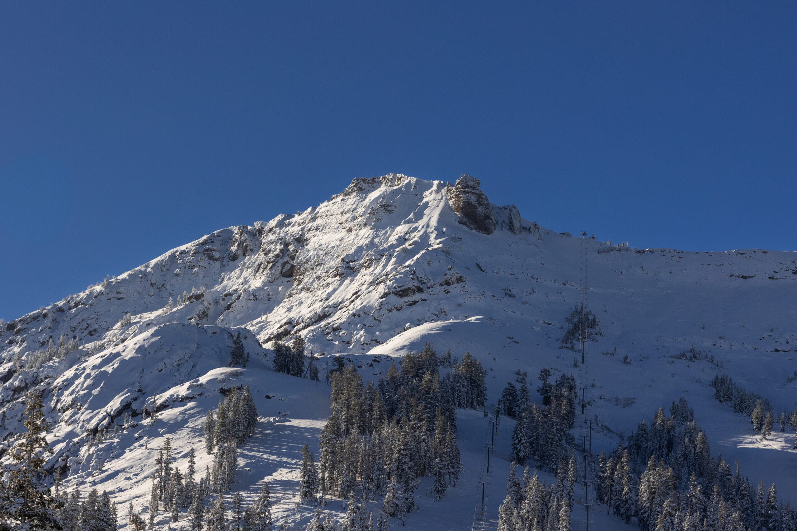
- Targeting High Elevations: Experts continue to recommend prioritizing high-elevation ski resorts—such as Wolf Creek or Mammoth—where cold temperatures are more easily sustained regardless of broader regional temperature anomalies.
- Hedging Bets in Central Zones: Destinations in central Colorado and Utah, which sit in neutral zones between the stormy South and the dry North, require a flexible approach to pass usage and trip booking. Skier flexibility will be paramount as short-range forecasts supersede long-range models week by week.
Economic Impact on Mountain Communities
For local economies in the Sierra Nevada, Southwest, and southern Rockies, the upgraded NOAA forecast is a vital psychological and financial boost. Following the revenue contractions of the previous winter, local businesses, hospitality providers, and seasonal workers rely heavily on sustained snowpacks to drive tourism. An active southern storm track promises a return to robust visitor numbers.
Conversely, resorts in the Northern Rockies and Pacific Northwest must lean aggressively into early-season snowmaking and diversified winter programming. By relying on state-of-the-art snow preservation techniques, these northern operators can mitigate the risks posed by warmer-than-average temperature projections.
As the industry counts down the days to December 17—when NOAA will release its next official update—skiers across the continent will keep a watchful eye on both the long-range charts and the immediate weather radar, hoping that the promising atmospheric signals translate into the deep powder days the West desperately needs.

 Nana Wu
 Sagoh
 Nana Muazin

 Asro


 Ammar Sabilarrohman

 Lina Hope